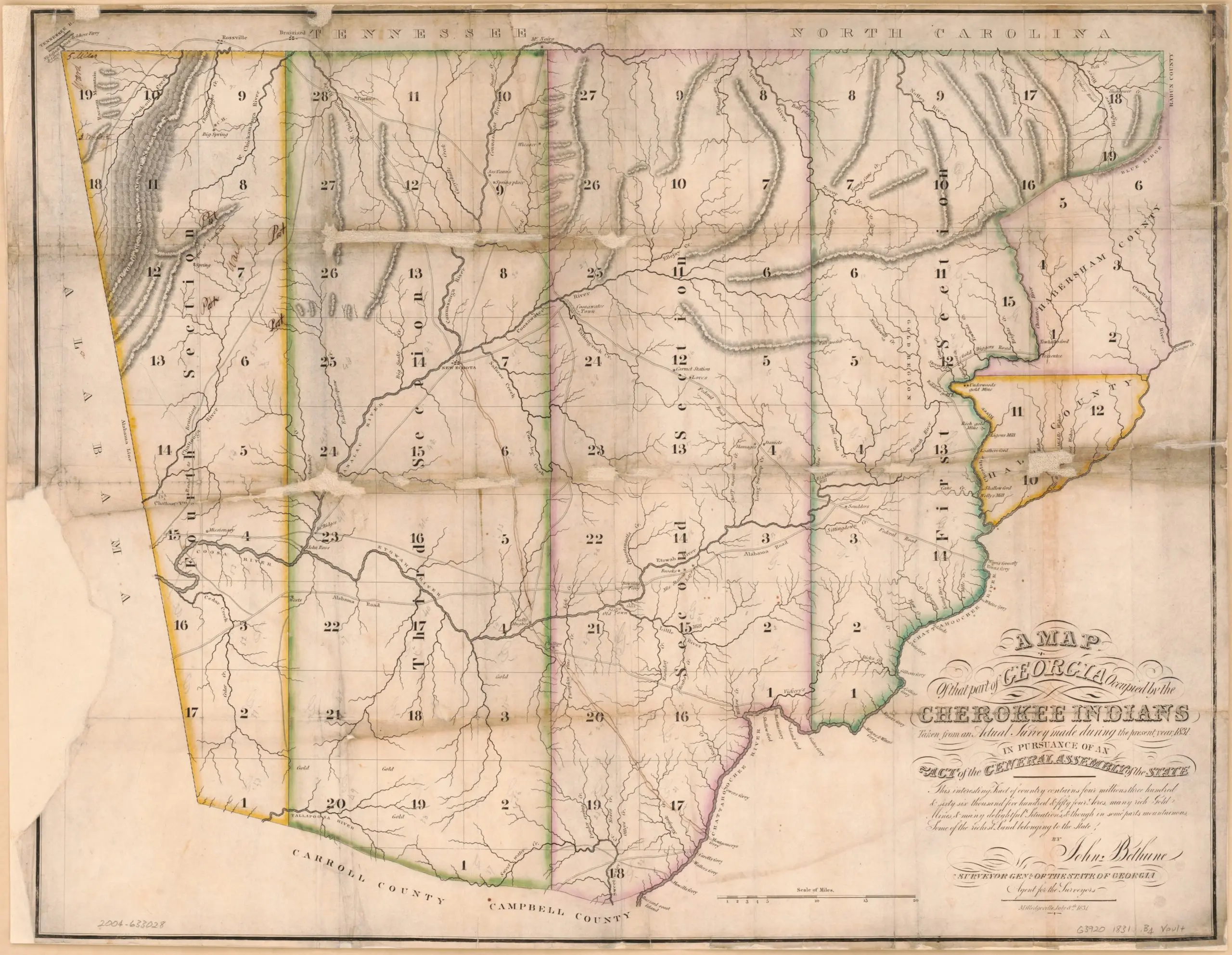
Description on map states: A map of that part of Georgia occupied by the Cherokee Indians, taken from an actual survey made during the present year 1831, in pursuance of an act of the general assembly of the state: this interesting tract of country contains four millions three hundred & sixty six thousand five hundred & fifty four acres, many rich gold mines & many delightful situations & though in some parts mountainous, some of the richest land belonging to the state

Citation: Bethune, John, Surveyor General. “A map of that part of Georgia occupied by the Cherokee Indians, taken from an actual survey made during the present year, in pursuance of an act of the general assembly of the state: this interesting tract of country contains four millions three hundred & sixty six thousand five hundred & fifty four acres, many rich gold mines & many delightful situations & though in some parts mountainous, some of the richest land belonging to the state.” Milledgeville, Ga.: John Bethune, 1831. Map. https://www.loc.gov/item/2004633028/. Accessed 28 August 2023.
Questions
- What is the title of this map? Why do you think it is titled that? What else do you think the title tells you?
- Why do you think there are numbers on the map? What do you notice written in the squares (Pay particular attention to squares 20 and 19)?
- What does this map tell you about what was important to Americans in the 1830s?


